Hi-res Haiti OpenStreetMap maps
The best way to see OpenStreetMap maps of Haiti, is to just browse the map
For printing purposes though you may want an individual image at high resultion (very big).
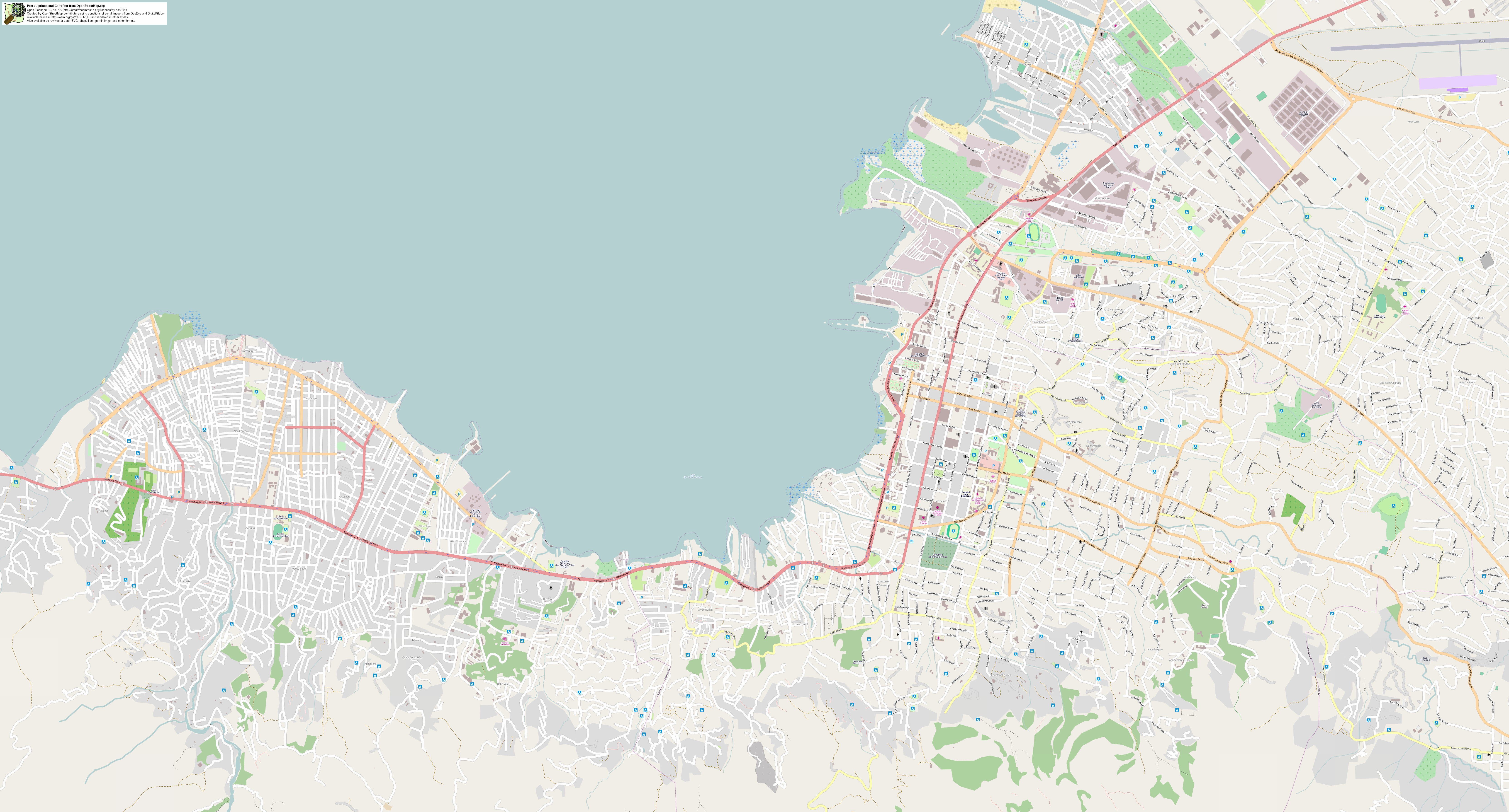
This image is 6656 x 3584 pixels. 6Mb PNG file covering the cities of Port-au-prince and Carrefour with the plain normal OpenStreetMap Mapnik style.
>> Download haitiplain.png (7 Mb) <<
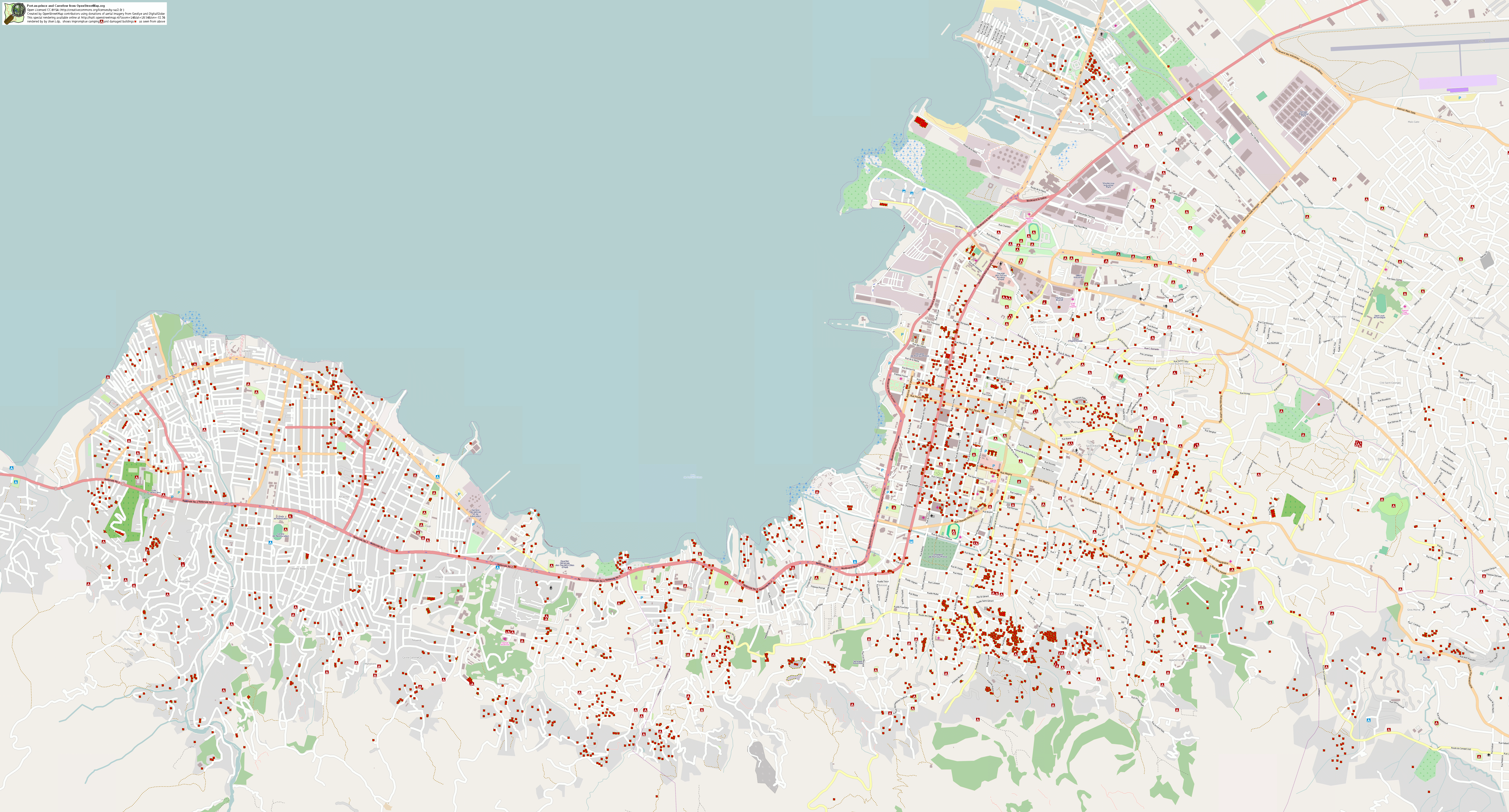
We've been labelling damaged buildings and impromptu refugee campsites where these are visible within the GeoEye imagery. Browse a special map which shows these at haiti.openstreetmap.nl (also with nice imagery transparency option) That's a custom rendering set up by User:Ldp
This is a high-res 6656 x 3584 pixels image of that map:
>> Download haitidamage.png (15 Mb) <<
(someone else is showing damaged buildings in a dynamic javascripty interface)
Other (larger) images available from GeoFabrik. These are ~15k x 10k pixels covering a larger area
More resources at WikiProject Haiti/Earthquake map resources
My blog post "Haiti Earthquake on OpenStreetMap"